Geographic Information Science (GIScience) is a 21st Century revolution in the way we collect, visualize and interpret Spatial Data. Here at the Roger Tomlinson Lab, we advance GIScience by developing new theories of Geospatial Data Management, as well as encourage discourse on emergent new technologies such as Big Data and Machine Learning. Click on our researcher profiles to learn more!
We decided to name our lab in honour of Dr. Roger Tomlinson, the "father of GIS" who (among his other degrees) obtained a Masters degree in Geography from McGill University. He also inaugurated the Lab when he was given an Honorary Doctorate from McGill. You can read his doctoral dissertation regarding CGIS at the University College London repository here.
Why "The Roger Tomlinson Lab"? +

Dr. Roger Tomlinson
"Father of GIS"; oversaw creation of the first Canadian GIS (CGIS)
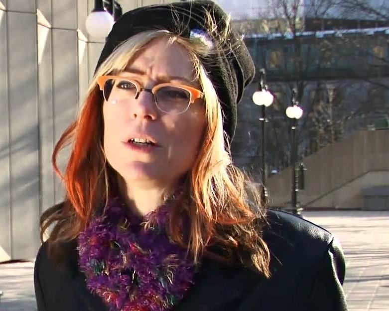
Dr. Renee Sieber
Co-Director & Associate Professor (Geography & School of Environment)
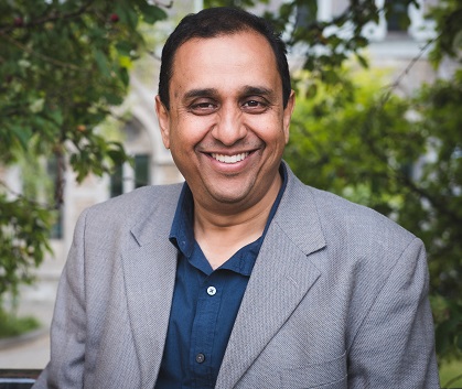
Dr. Raja Sengupta
Co-Director & Associate Professor (Geography & School of Environment)
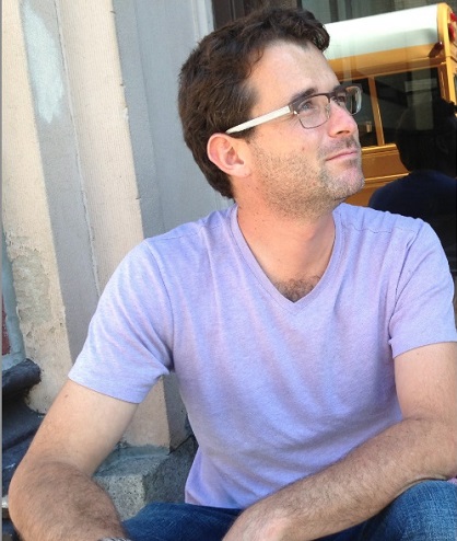
Dr. Drew Bush (Post-doc)
As a postdoctoral researcher at McGill University, Drew Bush investigates how a citizen science curriculum utilizing the Data Rescue: Archives and Weather (DRAW) project can teach students about historical climate records in Montreal and the social, political and cultural events that coincided with them.
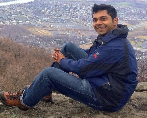
Dipto Sarkar, PhD Student
Dipto's interests lie in Spatial Social Networks and in the quest to understand geography and society as being mutually established by focusing on explicitly known interactions.
Genevieve Reid, PhD Student
Indigenous Spatial Knowledge

Matthew Tenney, PhD Student
Matthew is researching the future of public participation as Canadian cities increasingly look for ways to become “smart".
Allen Zheng, MSc Student
Allen is currently doing research on the interrelationships between smart city technologies and computer-based planning-specific tools (i.e., Planning Support System).

Gabriella Fanous, MA Student
Gabriella is currently a Master’s student in Geography. Her research explores the mechanisms through which open government data realizes improvements in governance, and catalyzes innovation.

Sam Lumley, MSc Student
Sam applies geovisual, educational and experimental psychological methods to explore representational challenges in climate change communication research. Specifically, he is interested in how geovisual tools can assist public understandings of global climate models.
Hannah Ker, BSc Honours Student
Hannah’s work explores perceptions and cognitions of Montreal’s visual landscape. She is working to explain the nature of spatial legibility in Montreal and better understand how the city is understood in the minds of its inhabitants.
Sophie Toor, BA&Sc Honours Student
Sophie Toor is in her fourth year of her undergraduate degree at McGill and is involved with this lab through her senior honours research project. As a student in the interdisciplinary program Science, Society and Sustainability (BA&Sc), her main academic interests revolve around SocioEcological systems (SES) – their modelling, conceptualisations and relations to policy decision-making. Consequently, her honours research investigates the link between environmental degradation and human migration in Sub-Saharan Africa. She hopes to apply her understanding as migratory patterns being influenced by SES in her future career aspirations in environmental law.
Our Alumni (Doctoral & Masters)
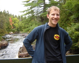
Dr. Peter Johnson (PhD, 2010)
Peter's research seeks to understand how governments, citizens, and private companies share information through geospatial technology, including open data, the geoweb, social media, mobile devices, and the process of crowdsourcing.
Dr. Catrina MacKenzie (PhD, 2012)
Using qualitative, quantitative and Geographic Information Science methodologies, Catrina aims to understand the spatial distributions of perceived and realized benefits and losses accrued by communities as a result of living next to protected areas, and to find sustainable solutions to mitigate the losses for local communities while supporting conservation objectives.
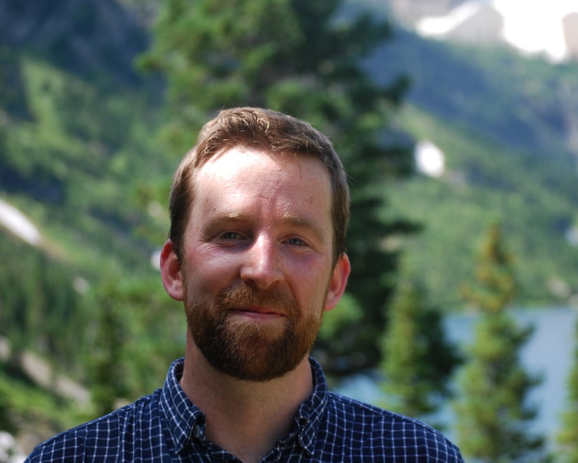
Dr. Tyler Bonnell (PhD, 2014; MSc 2010)
Tyler is interested in collective behaviour, particularly spatially explicit collective behaviour, as simulated using Agent-Based Models.
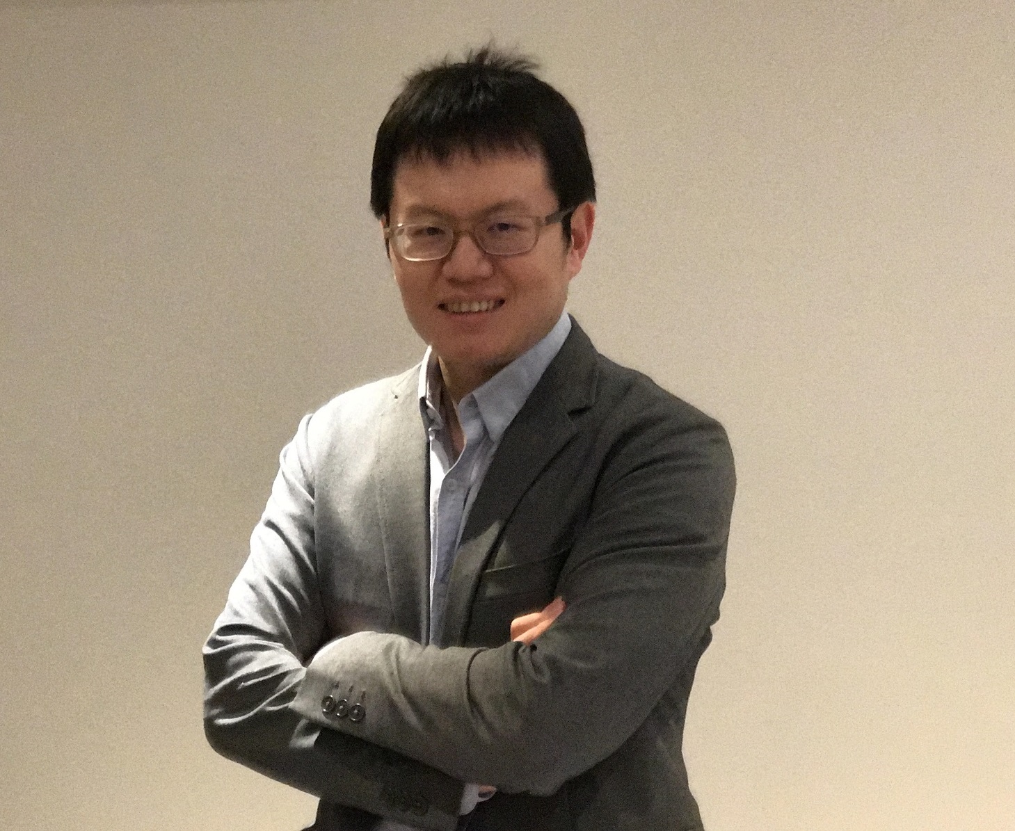
Dr. Jin Xing (PhD, 2017)
Jin is a computational GIScientist and his research focuses on land use/cover change detection, geospatial machine learning, and geospatial cyber-infrastructure.
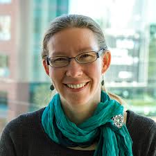
Dr. Sonja Klinsky (MA, 2004)
Sonja's thesis was an elucidation of "Ecological Footprint Analysis" in Community Planning.

Sandra Bolanos (MA, 2007)
Sandra's thesis focussed on developing new Remote Sensing Methodologies for Shade Coffee identification in Colombia.
Paola Bauche Petersen (MA, 2007)
Paola worked on identifying the landuse trends that supported Payments for Hydrological Services in the Rio Cuale watershed, Mexico
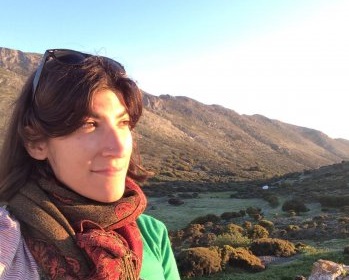
Karina Benessaiah (MSc, 2008)
Karina's research focuses on understanding how people adapt to rapid, multifaceted social-ecological changes – often called crises – and assessing societal and environmental transformations. Environmental changes, economic recessions, globalized trade are all drivers of change that shape livelihoods and environments around the world, often in unexpected ways. Understanding the processes involved in those social-ecological transformations highlights emergent vulnerabilities and potential opportunities towards sustainable and equitable pathways.

Jeremy Jackson (MA, 2008)
Jeremy developed an Agent-Based Model of Gentrification for the Boston Area for his thesis.
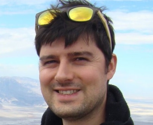
Dr. Chris Wellen (MSc, 2008)
Chris's thesis focused on Cree placenames and audio recordings of stories, with a view towards developing a formal ontology of Cree hydrographic features. His efforts shed light on how the ontology formalization process would be different for indigenous cultures, how the actual ontologies would be different, and what the place of the ontology would be in the GIS, an open question in general and for indigenous cultures.
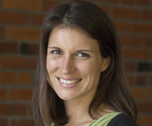
Dr. Brita Ricker (MSc, 2009)
Britta aims to illuminate techniques to make tools associated with Geographic Information Science (GIScience) more accessible to diverse audiences. With the proliferation and increased accessibility of spatial technologies comes seemingly endless opportunities to collect and share spatial data contributing to big data. As a GIScience researcher, she seeks to identify new ways in which to visualize and understand these big data in an interactive fashion. Her Master's thesis was titled "Barbadians on the Geoweb: Visualizing Environmental Change with Volunteered Geographic Information".

Yuan "Frank" Jin (MSc, 2011)
Yuan's thesis attempted to bridge the Ontological Gap between the Semantic Web and the RESTful Web Services in Integrating Chinese databases.
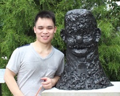
Jian Zhou (MSc, 2012)
Jian's thesis focussed on integrating a Geospatial Web 2.0 and Global Climate Models for Communicating Climate Change.
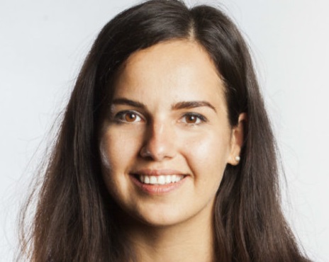
Ana Brandusescu (MA, 2014)
Ana's research focus was how community Economic Development could be Crowdmapped and Texted.

Korbin DaSilva (MSc, 2015)
Korbin's thesis was on assessing Physical and Digital Participatory Model Making in Urban Design.
Carl Hughes (MA, 2016)
Carl's thesis developed a web-based visualization interface alongwith cell phone based data collection tools for tracking Hepatitis A & E in Gujarat, India.

Suthee Sangiambutt (MA, 2017)
Suthee's thesis looked at the use of Open Data provided by cities by its citizens
